
Port de Nice
Le port Lympia est le nom donné au port de Nice.
Ce nom provient de la source Lympia qui alimentait un petit lac dans une zone marécageuse où les travaux du port commencent au milieu du xviiie siècle. Il constitue aujourd'hui la principale installation portuaire de Nice. Il existe également un petit port dans le quartier Carras.
Port of Nice
The Port of Nice is one of the key infrastructural hubs of Nice and, in fact, of the entire French Riviera, standing out as one of the main harbors for the boats which sail across the Mediterranean Sea. It accommodates both the ships operated by certain ferry companies and the private yachts of tourists who come to Nice by sea, on their own water craft.
Port de Nice enjoys an approximately central location in Nice, and besides its commercial purposes, it can be deemed a notable leisure site, dotted with several sightseeing opportunities. It is located in the so called Old Nice (Vieux Nice). On land, the port is accessible by road and by train. People who come here by car are also welcome, since the port is able to accommodate some 700 vehicles in its two large car parks (the parking rates vary according to the duration of the parking and to the type of vehicle).
The port is constantly under surveillance (video and security agents). The basic facilities refer to an Internet point, sanitary facilities and to several dryers, just to list a few. Further services (chiefly maritime assistance services) are provided both on request or as part of the routine services delivered by the port authorities. The prices charged for these services depend on several aspects (low or high season, tome of day, the nature of the required service).
Wikipedia
Download E-Brochures
- Touristic Guide
- Family Guide
- Nice for Gay people
- Map of the Center
- Map of the Old Nice (Plan du Vieux Nice)
- Hotels
- Restaurants
Geo Data
- Latitude: 43.696036 (43° 41' 45.73'' N)
- Longitude: 7.265592 (7° 15' 56.13'' E)
- Elevation: 1.99 m
- Demonym: Niçois, Niçoises
- Population (2012): 343 629
- Density: 4 778 hab./km²
- See Port of Nice, French Riviera on Google Map
- See Interactive Points of Nice
- Tramway
- GPX eXchange format
- Google Earth Pin
- KML Syntax
- Los Angeles12:34
- London12:34
- French Riviera12:34
- Roma12:34
- Tokyo12:34
Port of Nice Photo Gallery
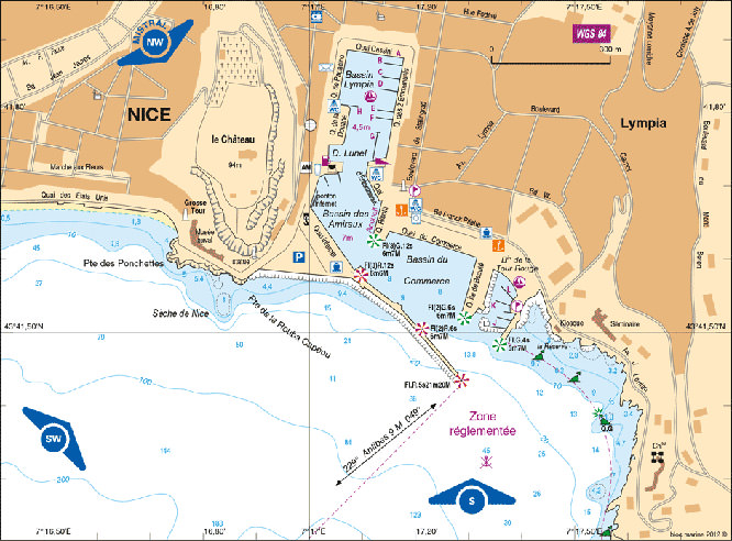
Map of the Port of Nice - Click to enlarge
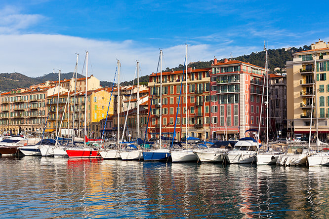
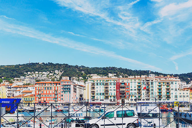
Beautiful Venetian-coloured buildings
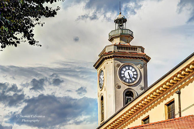
Church of the port - © Thomas Calvanico
Port of Nice - © Liligraphie
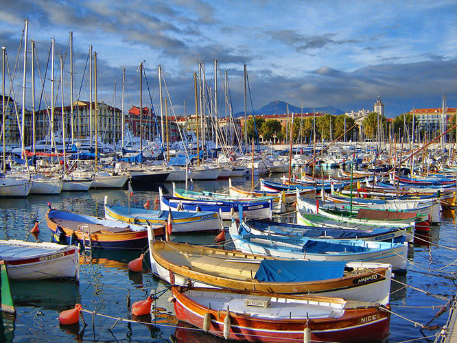
Port of Nice - © Camille Dufosse
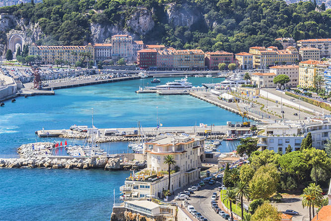
Port of Nice - © Victor Kiev
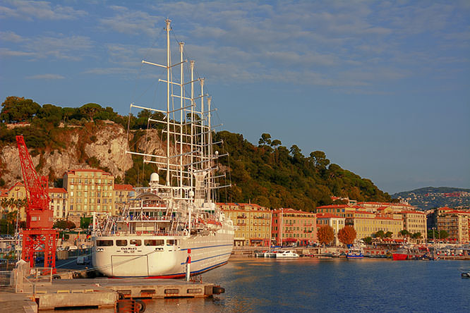
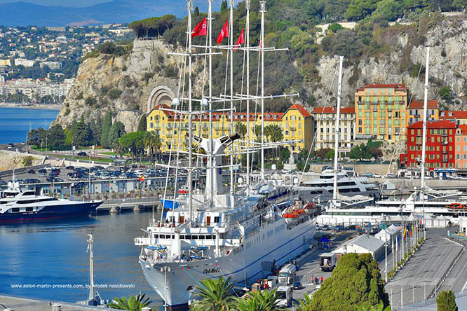
Club Med 2 at Port of Nice - © Gilles Couturier
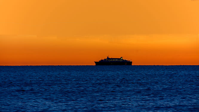
Corsica Ferry in the Bay of Angels - © Gilles Couturier
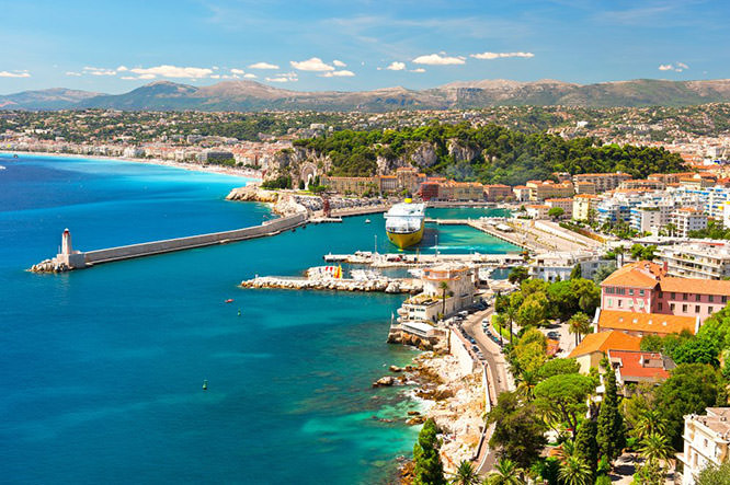
Port of Nice - © Peter Burnett
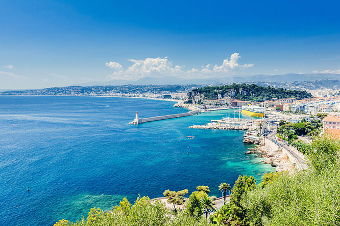
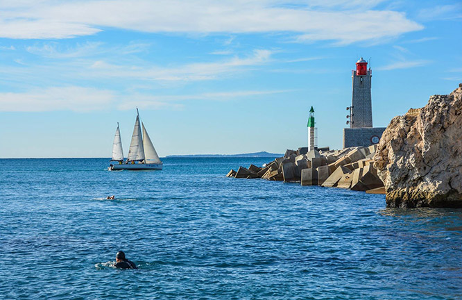
Nice Light House - © Millenium Photographie
Port of Nice - © Loïc Lagarde
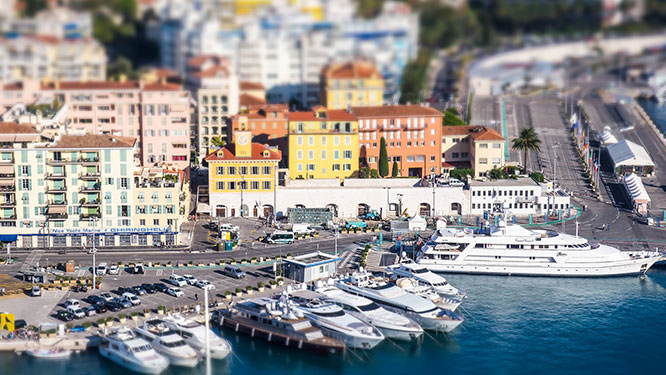
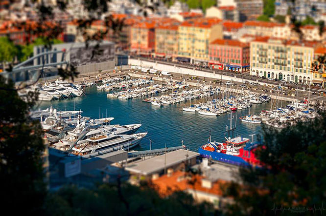
Port of Nice Tilt Shift - © Florian
Port of Nice - © Faithieimages
Port of Nice - © Cédric Mayence
Port of Nice - © Enrico
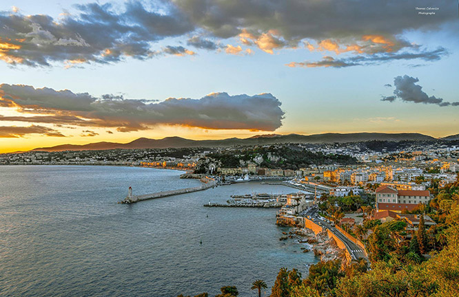
Port of Nice, golden hour - © Thomas Calvanico
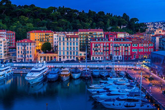
Port of Nice - © Wlodek Nasidlowski
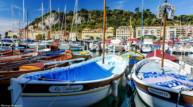
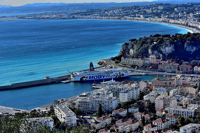
Port of Nice - © Ronny Genevois / Facebook
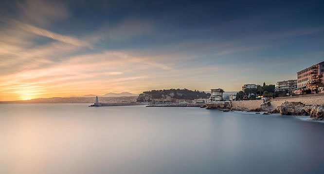
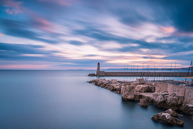
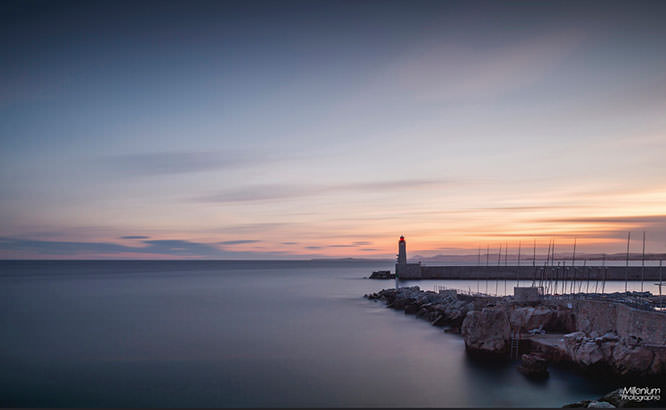
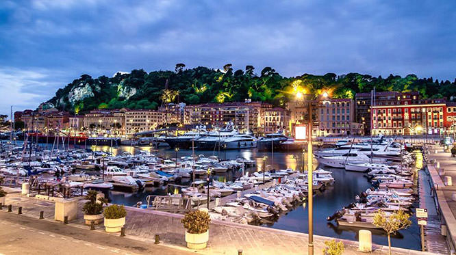
Long exposure of the port of Nice - © Alex Lud / 500px
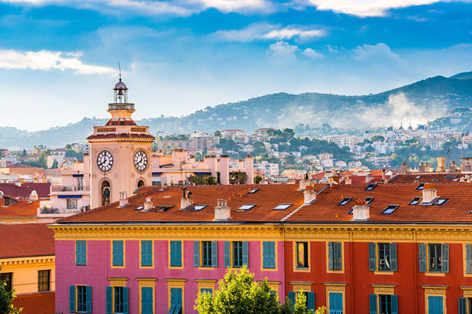
Clock Tower in Port Lympia (see also Facade of Nice) - © Reuben Teo / Shutterstock
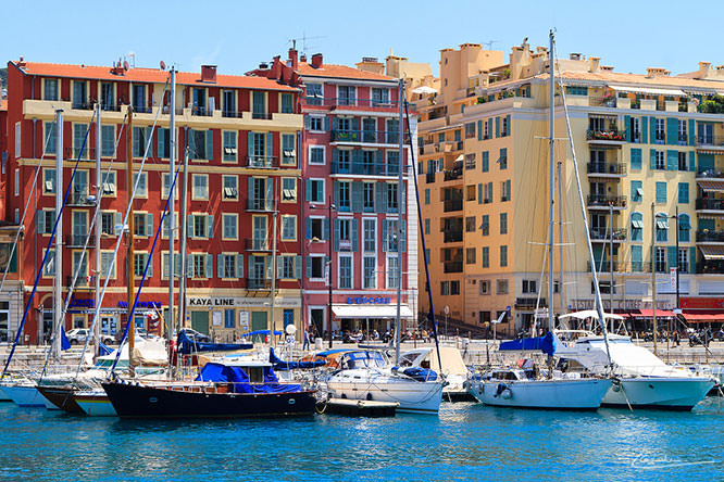
Colourful houses in Port Lympia - © Reuben Teo / Shutterstock
Port Lympia - © Wlodek Nasidlowski / Facebook
Tilt-Shift Port Lympia - © Millenium photographie / Flickr
Port Lympia and Colline du Château - © Sylvain Reybaut / Instagram
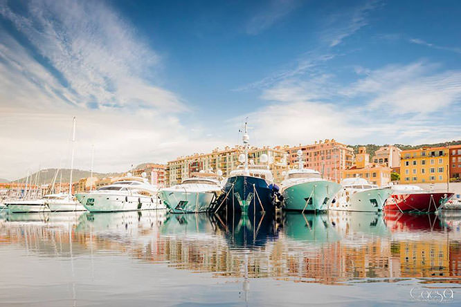
Port Lympia - © Caesa pics production
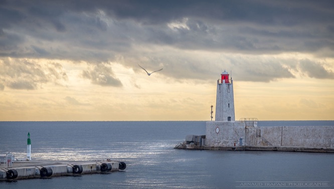
Port Lympia - © Arnaud Trapani
Around Port of Nice
Discover the surroundings of the Port of Nice
St Jean Cap Ferrat
10 Km East

Villefranche sur Mer
8 Km East

Èze
12 Km East

Beaulieu sur Mer
9 Km East

Saint-Laurent-du-Var
10 Km West

Cagnes-sur-Mer
14 Km West