
Isola 2000
Tout au long de l'hiver la station d'Isola 2000 vous comblera en émotions, qu'elles soient sportives, culturelles, gastronomiques ou relaxantes ! A 90 minutes de route de la Côte d'Azur et de son aéroport international, la station d'Isola 2000, sommet des Alpes du Sud vous accueille tout l'hiver pour des vacances remplies d'émotions! Située à 2000 mètres d'altitude et à la frontière avec l'Italie, Isola 2000 vous offre le grand air et vous ouvre les portes d'un environnement naturel exceptionnel.
L'Office de Tourisme vous accueille tous les jours tout au long de la saison d'hiver:
- Du lundi au samedi de 08h30 à 12h30 et de 13h30 à 19h00
- Le dimanche sans interruption de 08h30 à 19h00
- L'accueil téléphonique se fait de 09h00 à 12h30 et de 13h30 à 18h00, tous les jours
Comment venir à Isola 2000
Pour ceux qui utilisent un GPS : les cols de la Lombarde (par l'Italie) et de la Bonette-Restefond sont fermés en hiver.
En provenance d’Aix-en-Provence/Marseille: Emprunter l’autoroute A8 « la Provençale » en direction de Nice. Prendre la sortie 51.1 Digne-Grenoble/Carros - Mercantour puis Route Départementale M6202 bis, direction Digne-Grenoble. A 30 km, embranchement pour Saint‑Sauveur-sur-Tinée et suivre la direction d’Isola/Isola 2000 – St-Etienne-sur-Tinée/Auron. Au rond point du village d’Isola, prendre à droite vers Isola 2000 (17 km).
En provenance de Menton/Monaco/Italie: Emprunter l’autoroute A8 « la Provençale » en direction de Nice. Prendre la sortie 52 Nice Saint-Isidore/Digne-Grenoble/Carros puis Route Départementale D6202/Route de Grenoble/Route des Grandes Alpes. A 30 km, embranchement pour Saint‑Sauveur-sur-Tinée et suivre la direction d’Isola/Isola 2000 – St-Etienne-sur-Tinée/Auron. Au rond point du village d’Isola, prendre à droite vers Isola 2000 (17 km).
En provenance de Grenoble/Digne-les-Bains: Emprunter l’autoroute A51 en direction de Sisteron/Digne-les-Bains. Puis continuer sur la D1075/E712, à proximité de Sisteron récupérer la A51 en direction de Digne-les-Bains. Prendre la sortie 21 vers Digne-les-Bains/Château-Arnoux/Nice. Rejoindre la N85/Route de Nice en direction de Barême/Saint-André-les-Alpes/Annot, puis continuer sur la N202 et la D6202/Route des Alpes. A 30 km, embranchement pour Saint‑Sauveur-sur-Tinée et suivre la direction d’Isola/Isola 2000 – St-Etienne-sur-Tinée/Auron. Au rond point du village d’Isola, prendre à droite vers Isola 2000 (17 km).
N°Vert – Etat des Routes : 08.05.05.06.06 - inforoutes06.fr
Isola 2000
During all winter, Isola 2000 will give you great feelings but also cultural, gastronomic, relaxing sensations!
At only 90 minutes by car from the French Riviera and its International airport, Isola 2000, summit of the Southern alps welcomes you this winter for great vacations! Located at 2000 meters of altitude and at the borderline with Italy, Isola 2000 offers oxygene in an exceptional environment.
The Tourist Office is open every day throughout the winter season:
- From Monday to Saturday from 08:30 to 12:30 and from 13:30 to 19:00
- On Sunday without interruption from 08:30 to 19:00
- The phone reception is from 09:00 to 12:30 and from 13:30 to 18:00 every day.
How to come to Isola 2000?
Take the highway A8 from Aix en Provence or Monaco. Exit 51.1 Digne/Grenoble (Carros/Mercantour), then road M6202 bis, direction Digne/Grenoble. At 30kms, take direction to Saint sauveur sur Tinée, then Isola. In the village, go straight to Auron.
Bus transportation
Regular shuttle from Nice rail station and from Nice Airport- Line number is 750
Bookings at www.lignesdazur.com. For groups, please contact Santa Azur company at +33(0)4 93 85 34 06
Изола 2000
Горнолыжный курорт Изола 2000 находится в департаменте Приморские Альпы в регионе Прованс-Альпы-Лазурный берег. Станция находится на массиве Меркантур, вблизи национального парка Меркантур (3 километра от французско-итальянской границы). Изола 2000 находится на высоте 2000 метров над уровнем моря. Самая высокая точка этой местности называется «Mont Malinvern» и она находится на высоте 2938 метров над уровнем моря. Домен, используемый для катания, находится на высоте от 1800 до 2600 метров. Имеется 43 трассы общей длинной в 120 километров. Горнолыжная станция Изола 2000 обладает исключительным снежным покровом для таких климатических условий. Солнце является важным преимуществом станции. Однако температура может быть и достаточно низкой. Например, в декабре 2005 года был зафиксирован показатель -27°C.
Проект Изоля 2000
Проект Изоля 2000, который увидел свет в 1971 году, был придуман французом Мишелем Рено (Michel Renaud). Станция была построена в стратегическом месте, которое обладает особым микроклиматом. Данный тип микроклимата способствует формированию максимального снегового покрова. Во время зимы в 2010-2011 годов, Изола 2000 был самым заснеженным горнолыжным курортом Франции.
Структура станции Изоля 2000
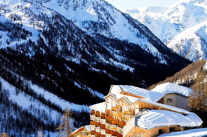
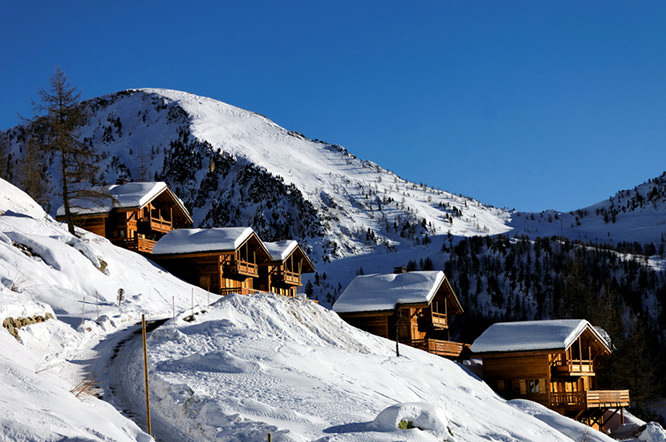
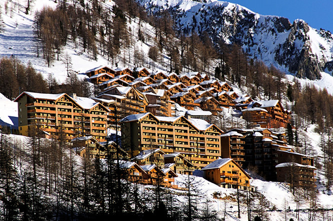
Архитектура станции характеризуется как типичная урбанистическая 1970 годов. Город построен в форме этажей или, другими словами, ступеней. На каждом уровне располагаются домики, шале, квартиры. Нижний этаж или нижняя ступень города представляет собой коммерческую часть (супермаркеты, бутики). Горнолыжный курорт Изола 2000 располагается в 90 км от Ниццы. Из больших горнолыжных станций Южных Альп Изола 2000 является самой ближайшей от Лазурного берега. 17 километров отделяют станцию от деревни. Дорога, ведущая на Изола 2000, хорошего качества. На ней есть все необходимое для безопасного перемещения. Пространство для катания, хорошо освещенное солнцем, разделяется на две долины. Склон Ломбард залит солнечным светом на протяжении всего дня, однако склон Мене менее солнечный: он находится в тени, начиная с полудня. С Сим-де-Систрон в солнечную и ясную погоду можно увидеть море, а также соседнюю горнолыжную станцию Орон.
Wikipedia
Geo Data
- Latitude: 44.18522 (44° 11' 7.89'' N)
- Longitude: 7.1597300 (7° 9' 35.03'' E)
- Elevation: 2019.31 m
- Demonym: Isoliens
- Population (2012): 747
- Density: 7,6 hab./km²
- See Isola 2000, French Riviera on Google Map
- See Isola 2000 on Apple Map
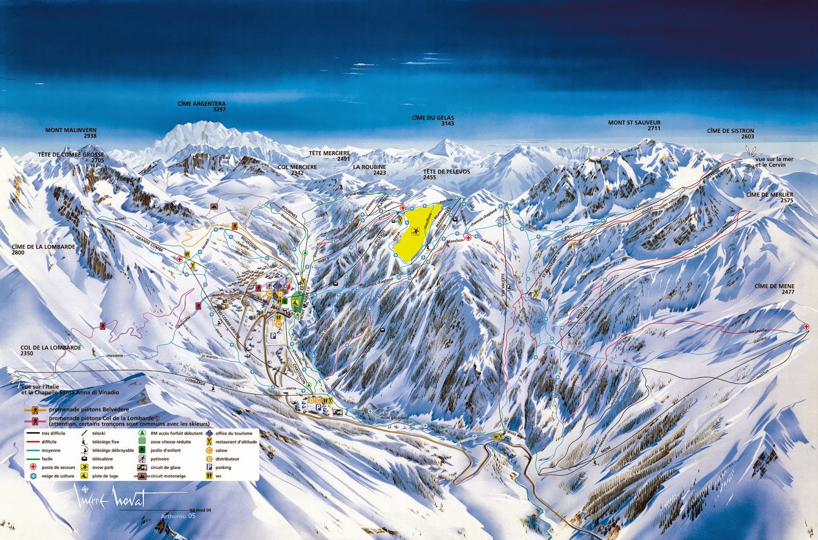
- Download Isola 2000 Ski Map
- GPX eXchange format
- Google Earth Pin
- KML Syntax
- Los Angeles12:34
- London12:34
- French Riviera12:34
- Roma12:34
- Tokyo12:34
Compass

Main distances
Paris: 1002 km
Lyon: 547 km
Marseille: 280 km
Toulouse: 642 km
Bordeaux: 882 km
Nantes: 1223 km
Lille: 1239 km
Strasbourg: 867 km
Montpellier: 409 km
Access map
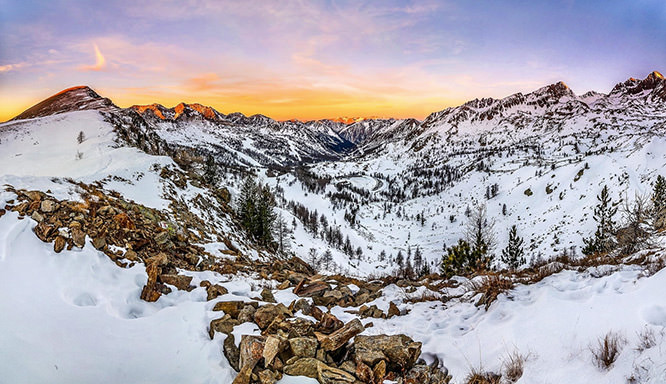
Isola 2000 Photo Gallery
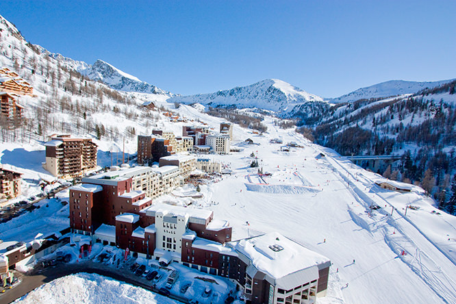
Isola 2000
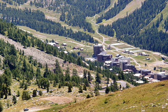
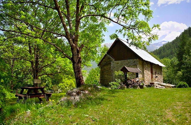
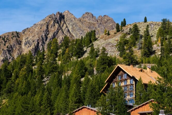
Isola 2000 in summertime
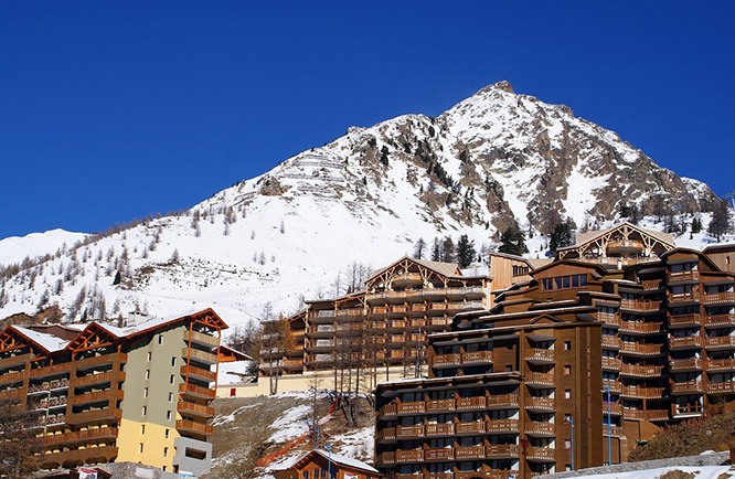
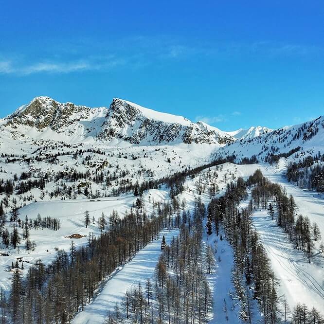
Isola 2000
Isola 2000 - © Christophe Geloni
Isola 2000 - © Gilles Couturier
Isola 2000 - © Gilles Couturier
Isola 2000 - © Gilles Couturier
Isola 2000 - © Arnaud Boisgillot
Isola 2000 - © Christophe Geloni
Isola 2000 - © Christophe Geloni
Mont Sistron 2610m - © T.Scherberich
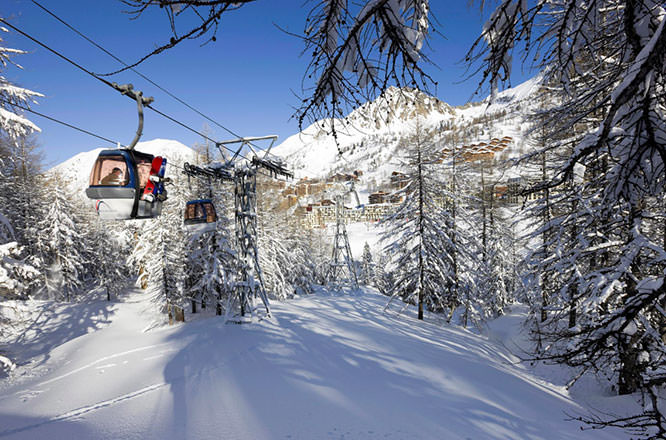
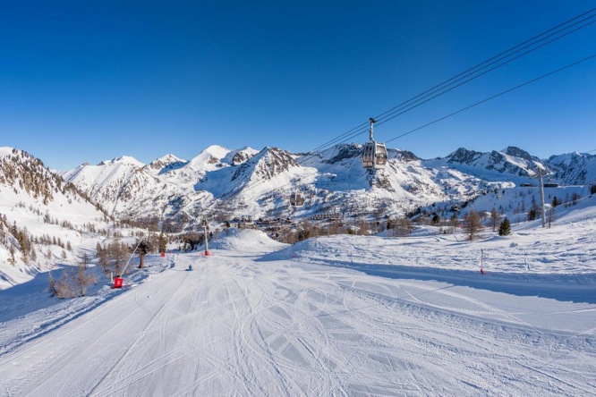
Ski lift cabins
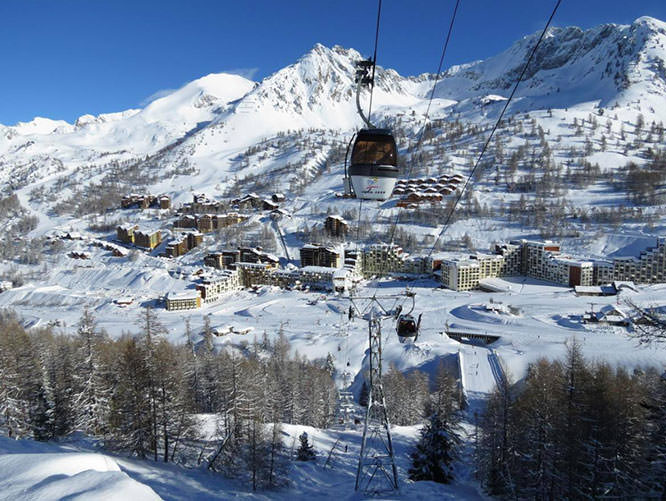
Ski lift cabins
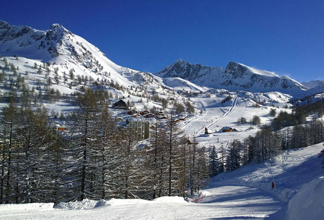
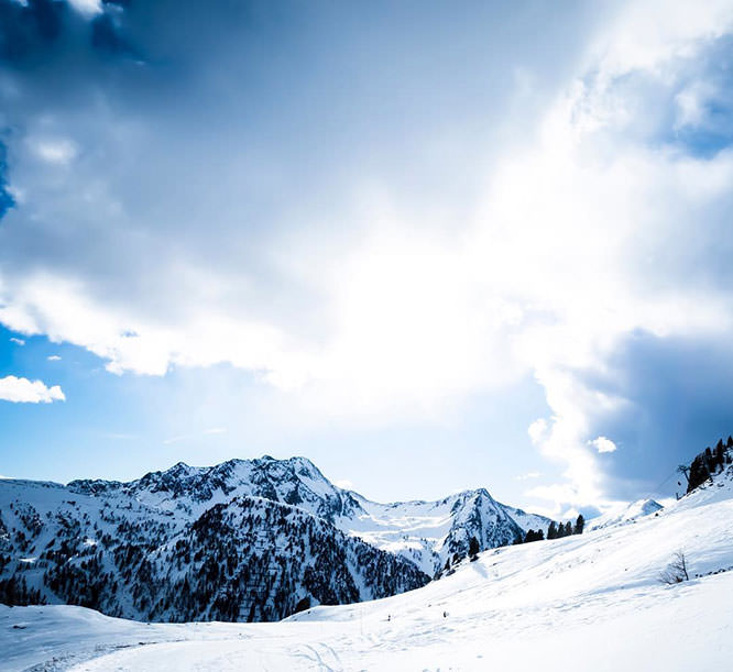
Isola 2000
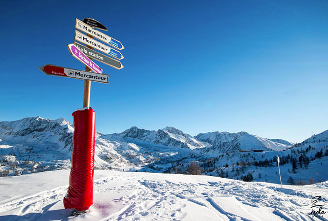
Ski Sign
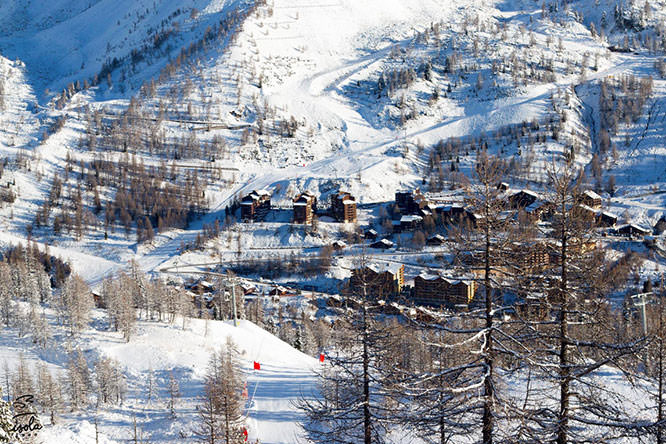
Isola 2000 view from the Marmottes ski lift
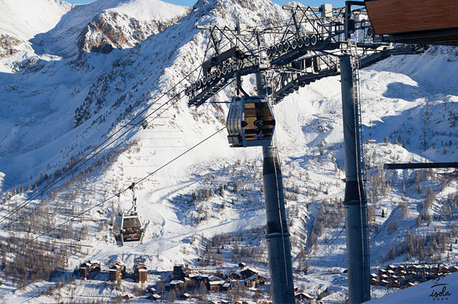
Ski lift cabins
Col de la Lombarde in summertime - © Georges Miha
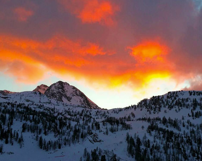
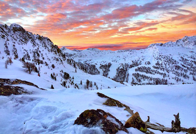
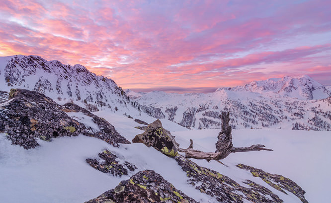
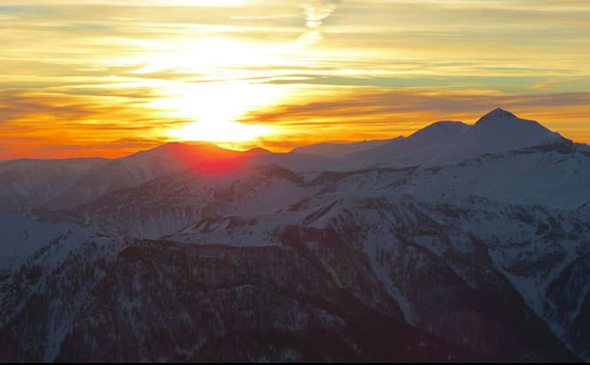
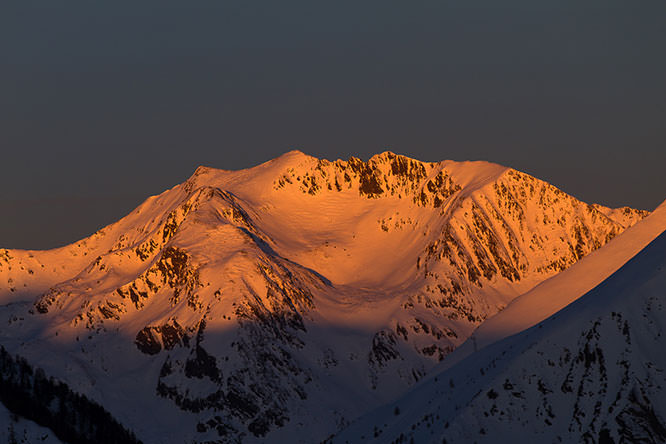
Isola 2000 sunset - © Guillaume Wigno
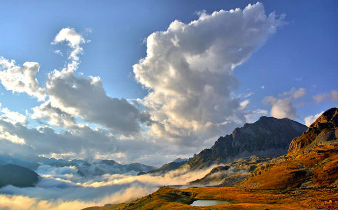
Summer in Isola - © Georges Miha
Summer in Isola - © Michael Crovetto
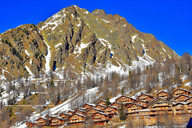
Isola 2000 - © Wlodek Nasidlowski
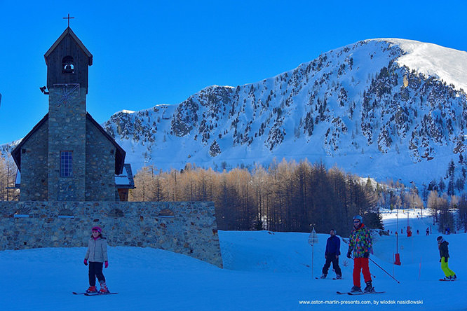
Isola 2000 - © Wlodek Nasidlowski
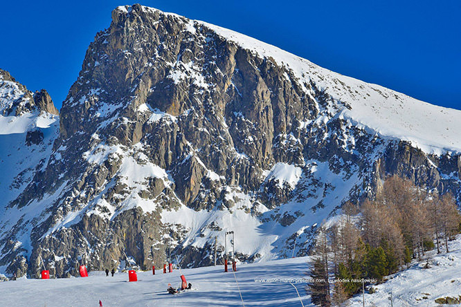
Isola 2000 - © Wlodek Nasidlowski
Isola 2000 - © Julian Brada
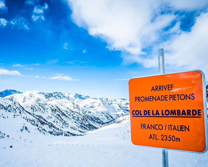
Isola 2000, Col de la Lombarde (French-Italian border) - © Julian Brada
Isola 2000 - © Martin R photography
Mont Malinvern (2938 meters) - © Entre montagne et mer
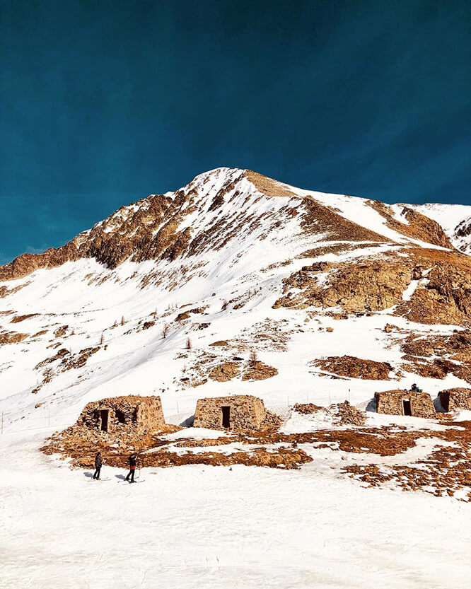
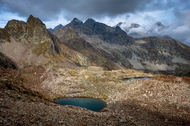
Blockhaus in Col de la Lombarde - © Clara CTO
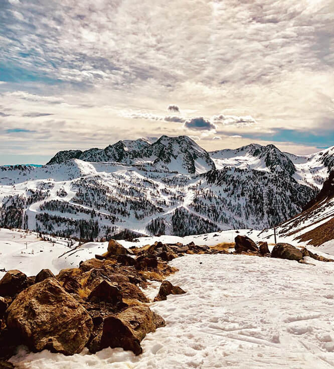
Slope in Isola 2000 - © Clara CTO
Télécabine du Mercantour
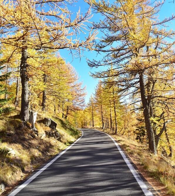
Road between Col de la Lombarde and Cuneo Italy - © Entre montagne et mer


