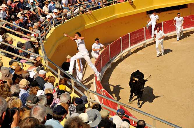
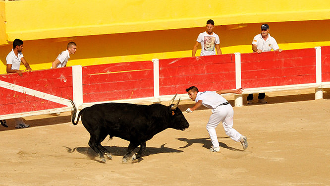
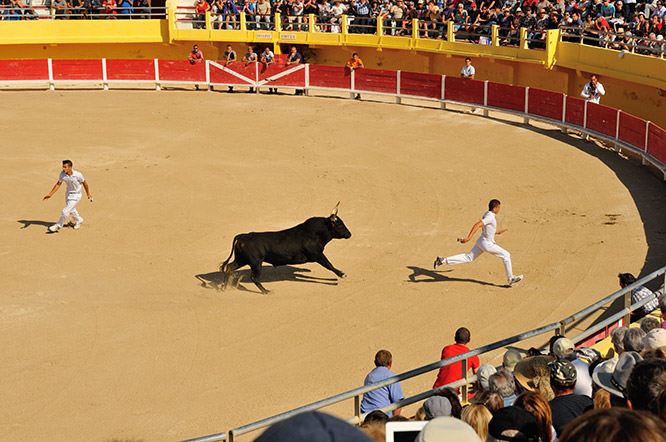
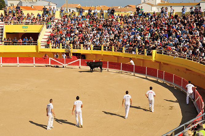
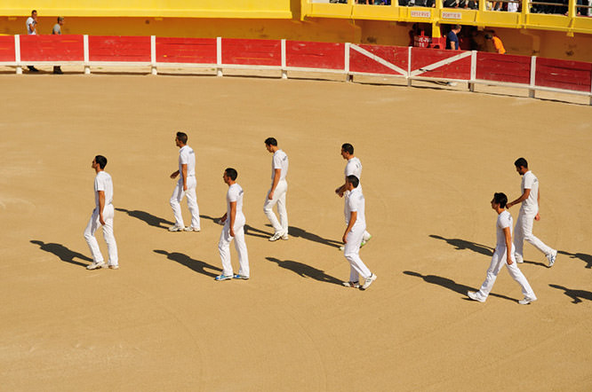
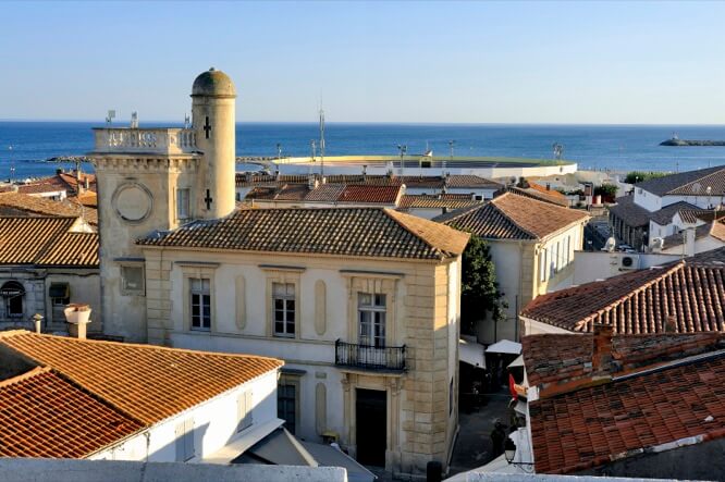
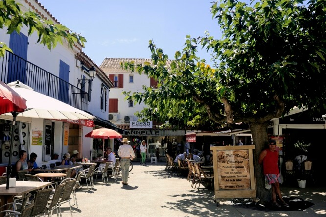
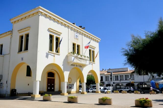
Camargue
3 heures de voiture de Nice (284 Km)
La Camargue est une région naturelle française située au bord de la mer Méditerranée, dans les départements des Bouches-du-Rhône et du Gard, et formée par le delta du Rhône.
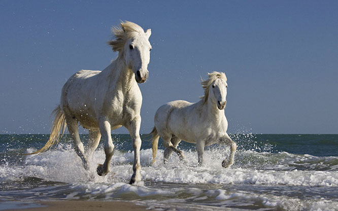
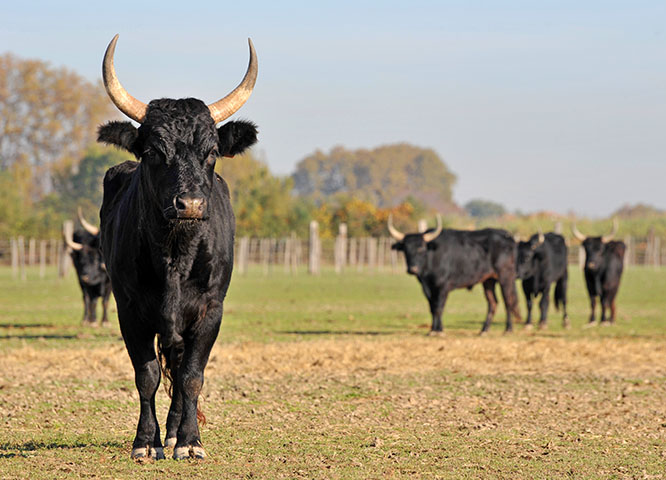
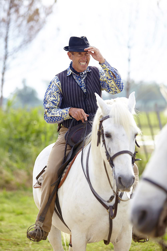
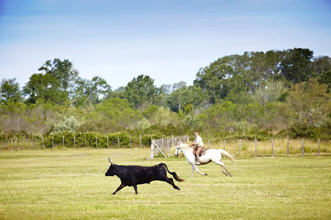
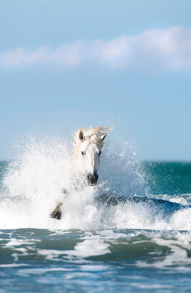
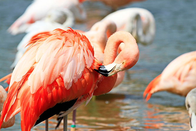
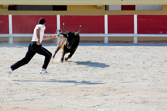
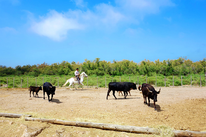
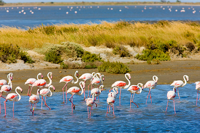
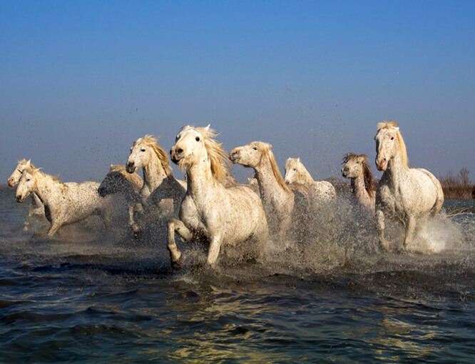
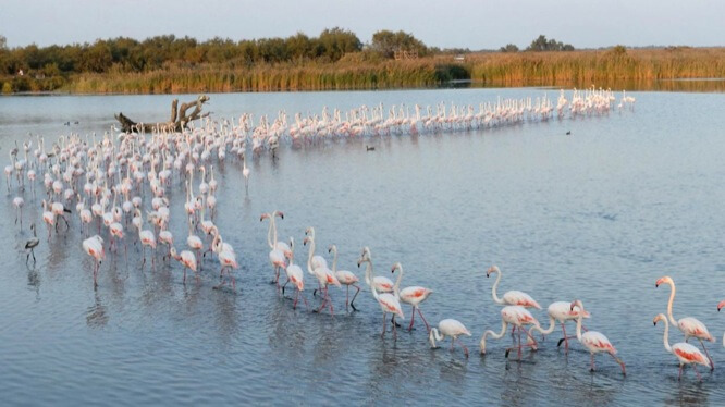
La Camargue est une zone humide paralique de 150 000 hectares qui abrite de nombreuses espèces animales et végétales. Elle est classée comme réserve de biosphère et parc naturel régional. Depuis le xixe siècle, elle fait l'objet d'opération de maitrise de l'eau.
La Camargue en occitan provençal s'écrit Camarga ou Camargo ([ka'maʀgɔ]).
Selon les lexicographes Bénédicte et Jean-Jacques Fénié « Camargue […] serait un nom d’origine latine, issu probablement d’un domaine du sénateur Camars de la gens Annia fort influente à Arles, il est formé avec le suffixe -icus » (qui signifie « qui est relatif à »).
D'autres hypothèses — non étayées par des documents d'archives — ont été recensées par le poète camarguais Elly Rul : Caii Marii Agger (retranchement ou camp de Marius en latin), Ca-mar (champ recouvert d’eau, en dialecte celto-ligurien), cara-marca (« chère frontière », en langue d’oc), ou n’a cap marca (« n’a pas de frontière »). L'hypothèse Caii Marii Agger a été également soutenue par l'historien du xviiie siècle Louis-Pierre Anquetil.
Camargue
3 hours by car from Nice (284 Km)
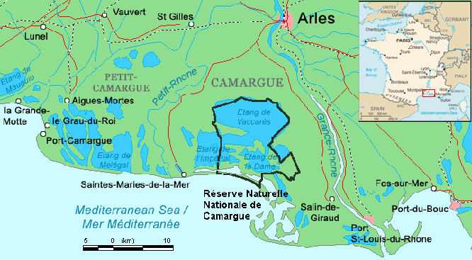
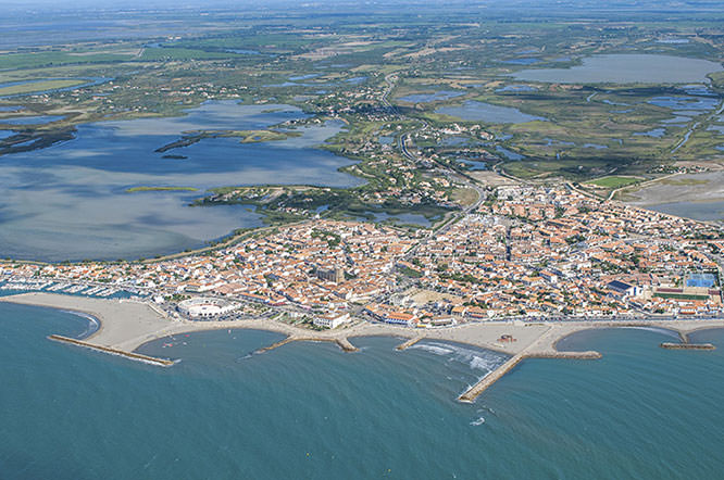
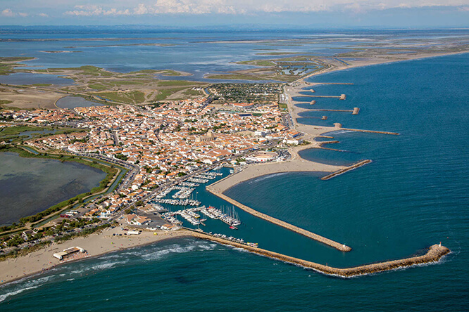
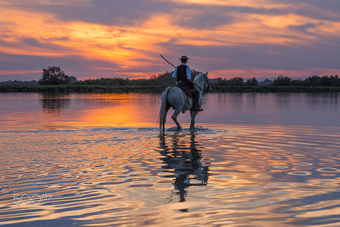
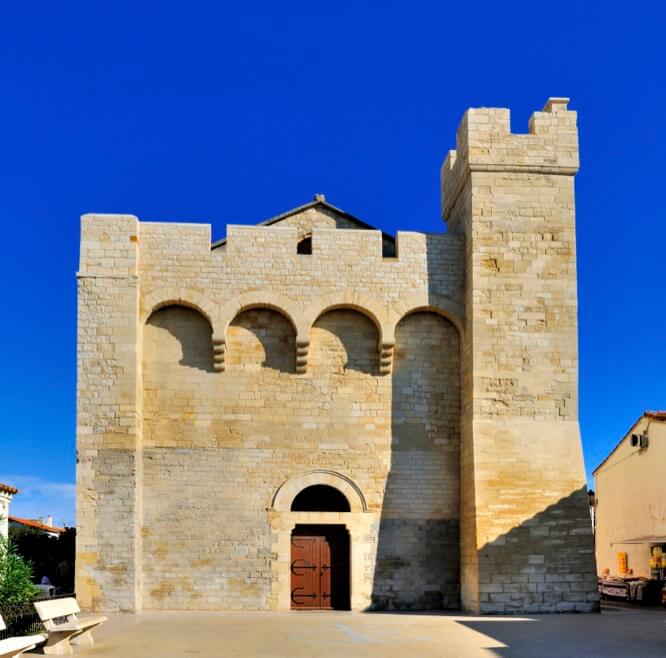
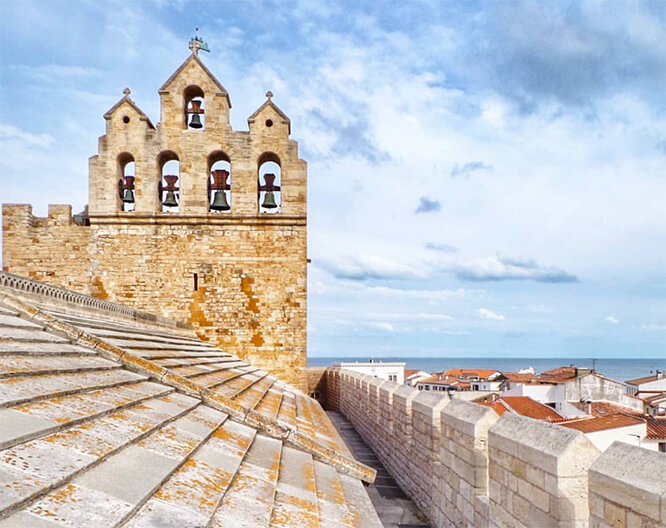
The Camargue (Occitan: Camarga in classical norm or Camargo in Mistralian norm) is a natural region located south of Arles, France, between the Mediterranean Sea and the two arms of the Rhône River delta. The eastern arm is called the Grand Rhône; the western one is the Petit Rhône.
Administratively it lies within the département of Bouches-du-Rhône, the appropriately named "Mouths of the Rhône", and covers parts of the territory of the communes of Arles – the largest commune in Metropolitan France, Saintes-Maries-de-la-Mer – the second largest – and Port-Saint-Louis-du-Rhône. A further expanse of marshy plain, the Petite Camargue (little Camargue), just to the west of the Petit Rhône, is in the département of Gard.
Camargue was designated a Ramsar site as a "Wetland of International Importance" on 1 December 1986.
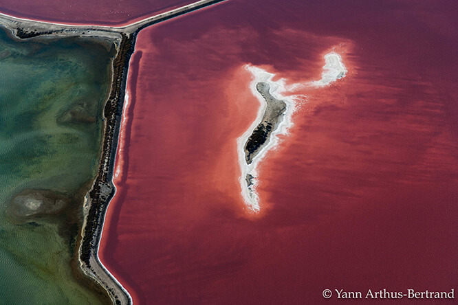
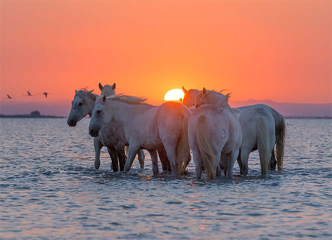
With an area of over 930 km2 (360 sq mi), the Camargue is western Europe's largest river delta. It is a vast plain comprising large brine lagoons or étangs, cut off from the sea by sandbars and encircled by reed-covered marshes. These are in turn surrounded by a large cultivated area.
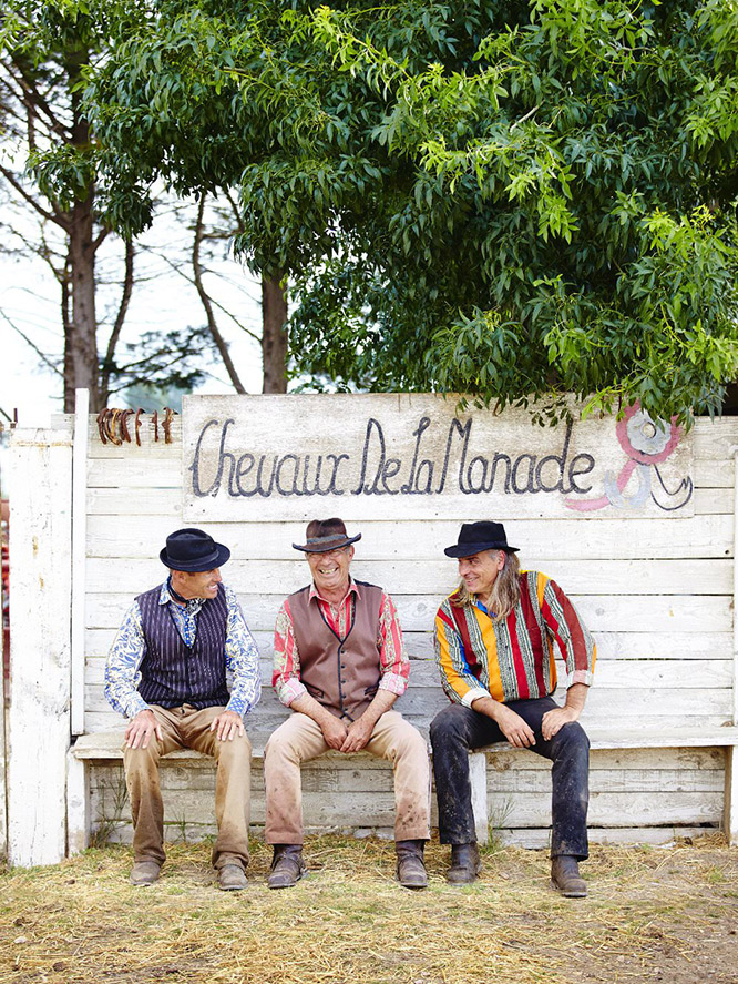
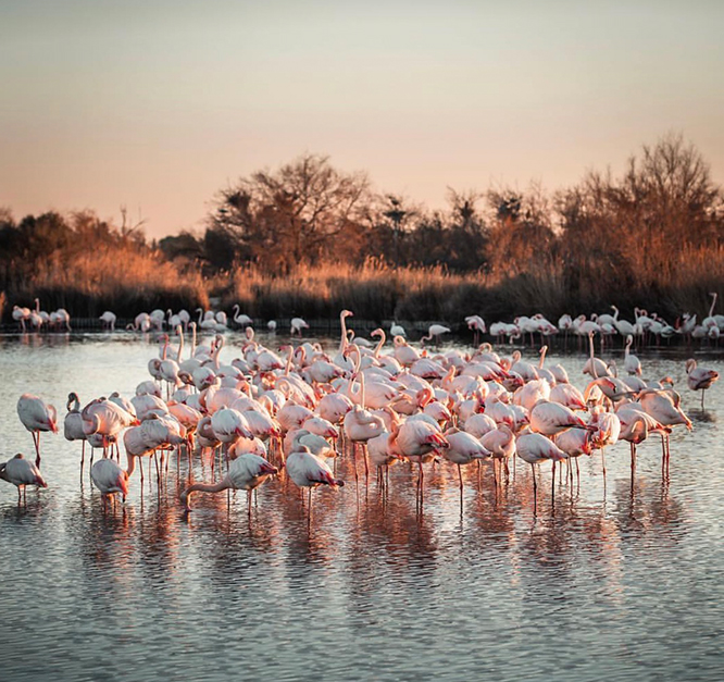
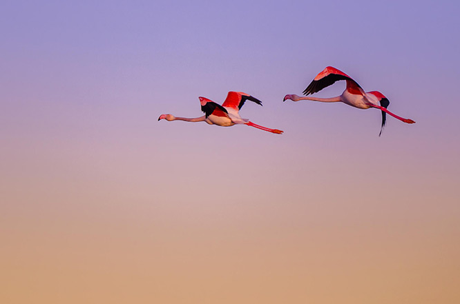
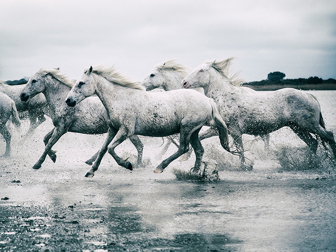
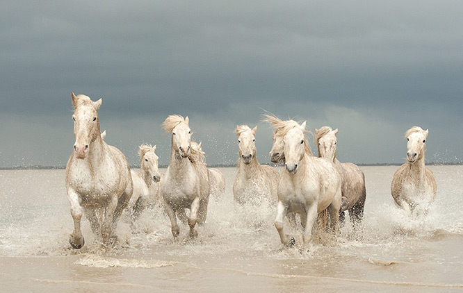
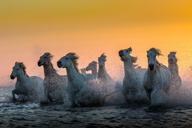
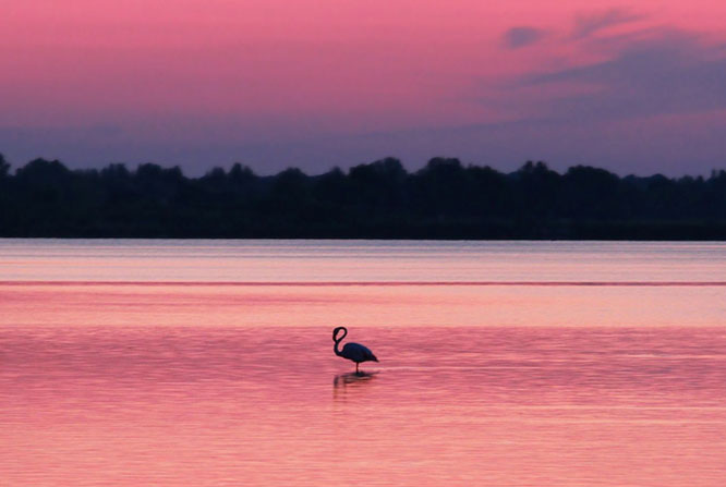
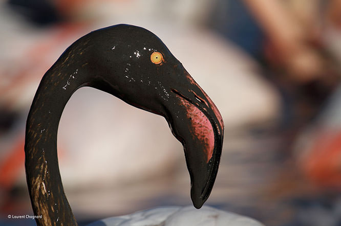
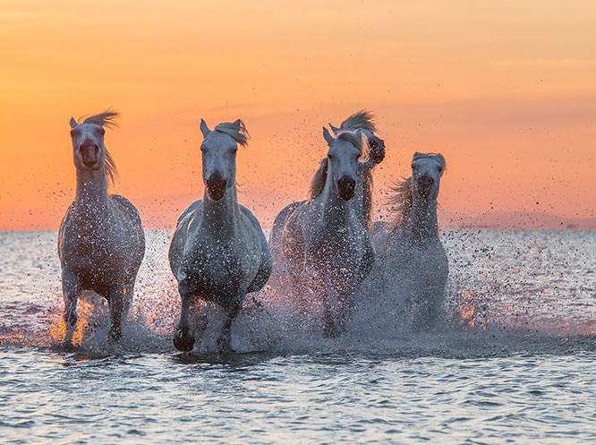
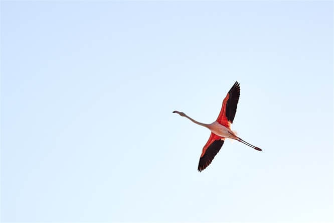
Approximately a third of the Camargue is either lakes or marshland. The central area around the shoreline of the Étang de Vaccarès has been protected as a regional park since 1927, in recognition of its great importance as a haven for wild birds. In 2008, it was incorporated into the larger Parc naturel régional de Camargue.
Кассис_(Франция)
3 часа на машине и 284 км от Ниццы
Камарг (фр. Camargue) — болотистая местность на юге Франции, в дельте Роны, где расположены несколько заповедников. Общая площадь — 930 км². Ландшафт — солончаки, тростниковые болота, морские лагуны, наносные песчаные острова.
Разбивается двумя рукавами Роны на три основных части:
- Малый Камарг (Petite Camargue) к западу от Малой Роны;
- Plan du Bourg (Plan du Bourg) к востоку от Большой Роны;
- а центральную часть, между обоими рукавами Роны, занимает Большой Камарг, большую часть которого занимает лагуна.
Camargue
3 ore in auto e 284 Km da Nizza
La Camargue (Camarga in occitano e in italiano) è la zona umida a sud di Arles, in Francia, fra il Mar Mediterraneo e i due bracci del delta del Rodano. Il braccio orientale si chiama Grand Rhône; quello occidentale Petit Rhône.
L'amministrazione del territorio è del dipartimento delle Bocche del Rodano, che prende nome proprio da questa zona. Un'estensione dell'area, la Petite Camargue (Piccola Camarga), subito ad ovest del Petit Rhône (Piccolo Rodano), si trova nel dipartimento del Gard.
Con un'area di oltre 930 km² la Camargue è il più grande delta fluviale dell'Europa occidentale (tecnicamente è però un'isola, essendo completamente circondata dalle acque). Essa è una vasta pianura comprendente vaste lagune (étangs) di acqua salata divisi dal mare da banchi di sabbia e circondati da paludi coperte da canneti, a loro volta attorniati da grandi aree coltivate. Approssimativamente un terzo della Camargue è formato da laghi o paludi.
L'area centrale intorno alla costa dell'Étang de Vaccarès è protetto come riserva nazionale dal 1927, per proteggere il gran numero di uccelli selvatici presenti nel territorio. Il Parco Regionale della Camargue fu poi creato nel 1970.
Wikipedia
Geo Data
- Latitude: 43.4532410 (43° 27' 11.67'' N)
- Longitude: 4.4290740 (4° 25' 44.67'' E)
- Elevation: 4.00 m
- See Camargue on Google Map
- See Avignon on Apple Map
- GPX eXchange format
- Google Earth Pin