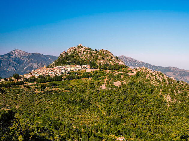
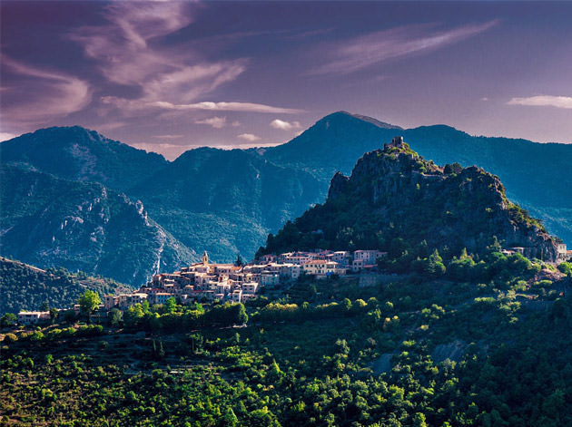
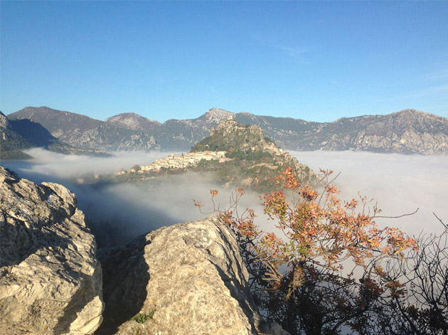
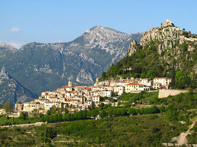
Sainte-Agnès
36 Km de voiture depuis Nice
Belvédère sur la Méditerranée perché à près de 800m d’altitude, cet ancien poste de défense de la frontière franco-italienne sur la ligne Maginot a longtemps été un site militaire convoité. Aujourd’hui, le village offre aux visiteurs avides d’authenticité, ses ruelles pavées de galets, sa vue imprenable sur la Côte d’Azur et son climat ensoleillé.
Sainte-Agnès
36 Km by car from Nice
Sainte-Agnès is perched at an altitude of 800m and offers a wonderful panoramic view of the Mediterranean. It used to protect the Franco-Italian border on the Maginot line and was a coveted military site for a long time. Today, the village offers visitors seeking authenticity its narrow paved streets, its unobstructed view of the French Riviera and its sunny weather.
Wikipedia
Geo Data
- Latitude: 43.8006090 (43° 48' 2.19'' N)
- Longitude: 7.4613920 (7° 27' 41.01'' E)
- Elevation: Min. 66 m – Max. 1 238 m
- Demonym: Agnésois
- Population (2014): 1157
- Density: 123 hab./km²
- See Sainte-Agnès, French Riviera on Google Map
- GPX eXchange format
- Google Earth Pin
- KML Syntax
- It's 00:00:00 in New York, 00:00:00 in London, and 00:00:00 in Sainte-Agnès.