Olargues
437 Km de voiture depuis Nice
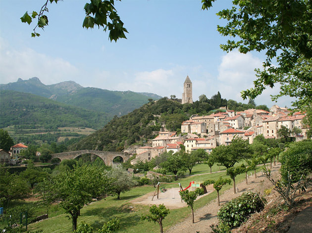
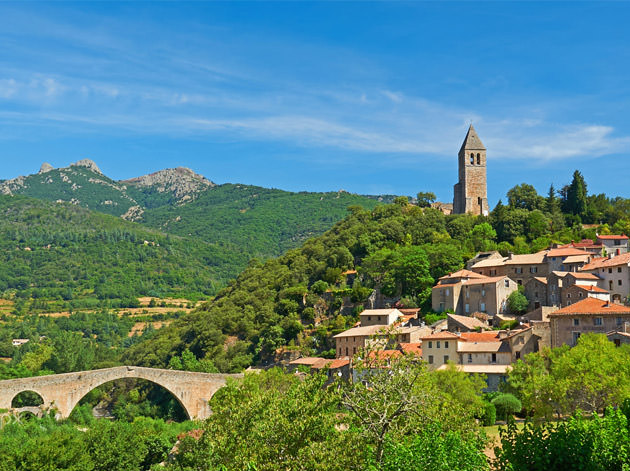
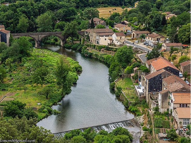
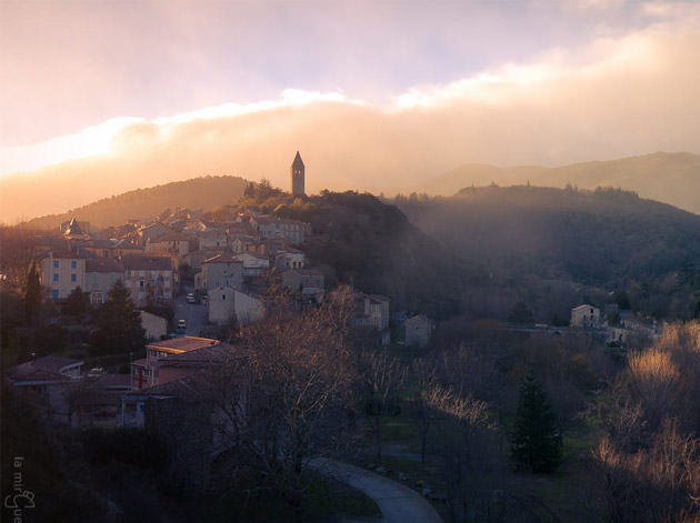
Entre Midi et Massif Central, le cœur d’Olargues balance. Qu’à cela ne tienne, le village est des deux ! Dans ses paysages, châtaigniers et cerisiers côtoient vignes et oliviers et le soleil tente de réchauffer les eaux froides du Jaur. Au pied de la montagne du Caroux, l’ancienne citée fortifiée séduit autant pour ses ruelles pavées de galets et ses passages couverts que pour sa situation propice aux activités de pleine nature…
Olargues
437 Km by car from Nice
Olargues is torn between the South of France and the Massif Central, but that’s no problem because it’s got a little bit of both ! Chestnut and cherry trees rub shoulders with vines and olive trees and the sun tries to heat up the chilly waters of the River Jaur. At the foot of the Caroux Mountains, the old fortified village attracts visitors not only because of its paved streets and covered passageways but also because it is ideally located for outdoor activities.
Wikipedia
Geo Data
- Latitude: 43.5567060 (43° 33' 24.14'' N)
- Longitude: 2.9137280 (2° 54' 49.42'' E)
- Elevation: Min. 148 m – Max. 760 m
- Demonym: Olarguais
- Population (2014): 666
- Density: 36 hab./km²
- See Olargues on Google Map
- GPX eXchange format
- Google Earth Pin
- KML Syntax
- It's 00:00:00 in New York, 00:00:00 in London, and 00:00:00 in Olargues.